 |
 |
MarBEF Data System |
 |
|
|
|
Geographic System
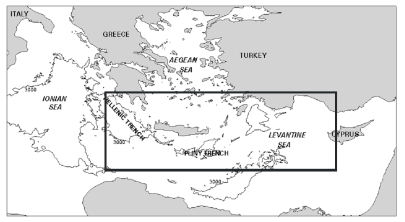
| The European Marine Gazetteer integrates all different geographic names used in the MarBEF data pages. Geographic names that occurr in the gazetteer can be names of sites of marine biodiversity importance (MarBEF and BIOMARE sites), geographic covers of datasets or geographic entities occurring in the ERMS2 database. If you browse the European Marine Biodiversity Gazetteer you will find all datasets related to the geographic entities. Any additional information about the geographic site can be found under 'site description'.
This Eurpean Marine gazetteer is part of the Marine Regions system, that provides maps, information and free downloads of the Exclusive Economic Zone polygons of countries. The database also contains digital information about treaties.
|

|
| 'Limits of Oceans and Seas', published by the IHO (1953) |
|
|


|
|
|
| An interactive geographic mapping system, based on Scalable Vector Graphics (SVG) has been developed in order to map the European Marine Biodiversity Research Sites. One of the objectives of the former European project BIOMARE was the selection of a network of Research Sites as the basis for long-term and large-scale marine biodiversity research in Europe (more info: www.biomareweb.org). Among the 100 European Marine Biodiversity Research Sites a small subset of Reference Sites has been selected. All the information about the BIOMARE sites is put into a fully searchable relational database and has a geographical interface. Deep-sea, ocean pelagic, experimental or extreme habitat sites, proposed during the MarBEF project are added to this database. |
|
|
|
|
|
|
 |